
Below, you will find essential weather stations and insights into the climate of the Middle Fork Salmon River to help you prepare for your trip.
Stanley, Idaho
While Stanley, Idaho, isn’t on the Middle Fork Salmon, it’s a common pre trip starting point for many river users. Waking up to frost in July might be a bit disconcerting, but there’s no need to worry. Stanley’s unique climate conditions are due to its elevation of 6,253 feet, its close proximity to the Sawtooth Mountains, and its location at the confluence of Valley Creek and the Salmon River, making it one of the coldest places in the lower 48 states. Considering this, when preparing for the weather conditions in the upper canyon of the Middle Fork Salmon – specifically the stretch from Boundary Creek (mile 0) to Indian Creek (mile 25) – we typically add 7 to 10 degrees to the temperatures recorded in Stanley. This adjustment helps in getting a more accurate sense of what to expect weather-wise in the initial miles of your trip.
STANLEY WEATHERFlying B Ranch
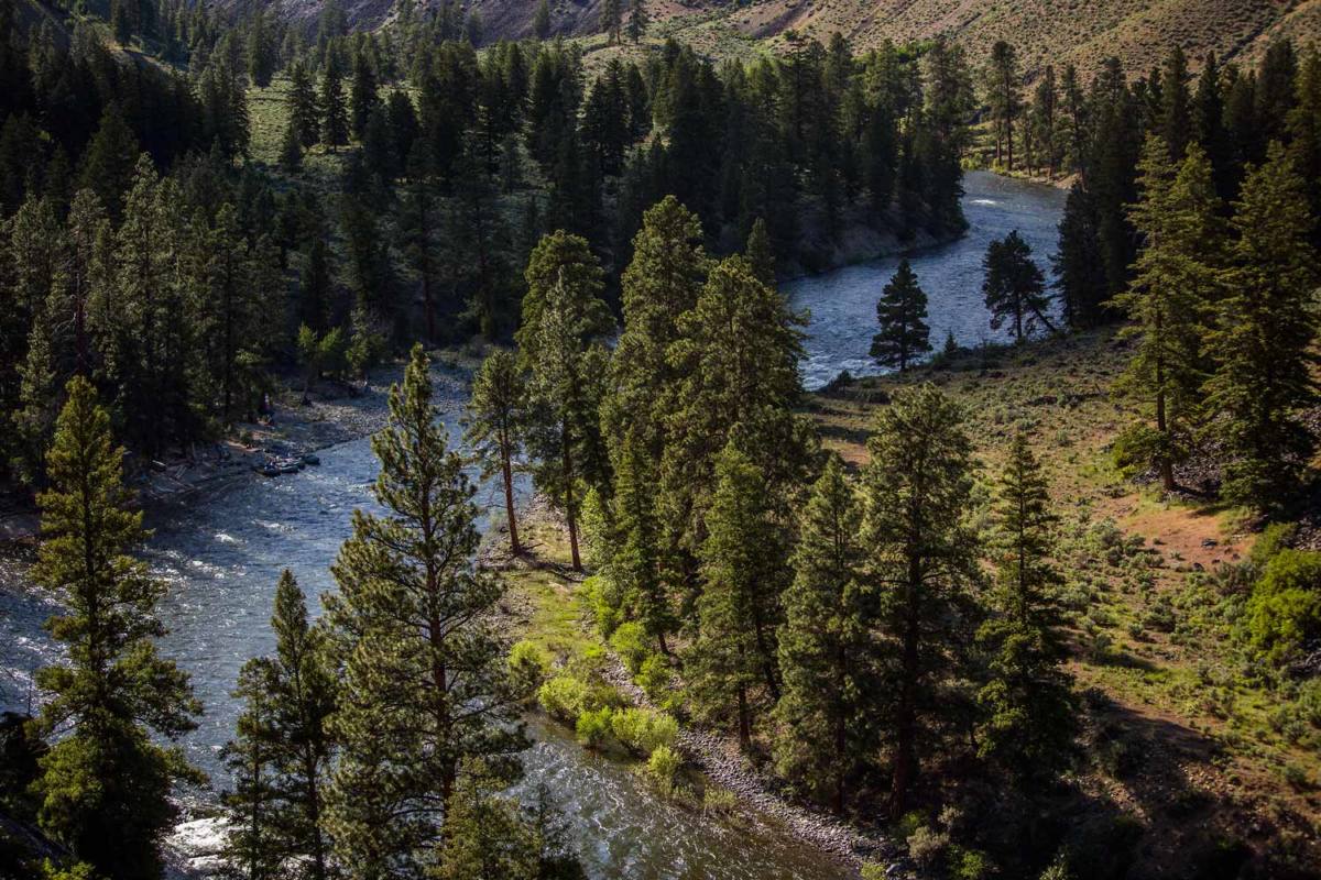
Further downstream, the Flying B Ranch, located at Mile 67, offers another critical point for understanding the river’s weather conditions. The ranch has a weather station that provides real-time data right on the river.
45th Parallel North
A noteworthy geographical feature of the Middle Fork Salmon is its intersection with the 45th Parallel North – the exact midpoint between the North Pole and the Equator. This crossing occurs near Cold Springs, around mile 69. Being situated on this latitude means that during summer, the area enjoys extended daylight hours. Here are the daylight times for key dates during the summer months along the 45th parallel north.
June 21 *Summer Solstice*: Dawn, 5:19 AM. Sunrise, 5:55 AM. Sunset, 9:27 PM. Dusk, 10:03 PM.
July 1: Dawn, 5:24 AM. Sunrise, 5:59 AM. Sunset, 9:25 PM. Dusk, 10:00 PM.
August 1: Dawn, 5:55 AM. Sunrise, 6:27 AM. Sunset, 9:03 PM. Dusk, 9:36 PM.
September 1: Dawn, 6:33 AM. Sunrise, 7:03 AM. Sunset, 8:15 PM. Dusk, 8:44 PM.
River Temperature
Being a free-flowing river, the Middle Fork exhibits varying water temperatures throughout the year. These temperatures are closely tied to the snowpack and the rate at which it melts. A useful way to conceptualize this is to think of water temperatures as having an inverse relationship with the river flow graph. If the river is rising, the water temperatures are dropping. If the river is dropping, the water temperatures are rising.
On average, during May, the river temperature tends to hover in the high 40s (Fahrenheit). As we move into June, the temperatures usually rise to the low 50s. July and August typically see the warmest water, with temperatures reaching into the low to mid 60s. As September arrives and the weather begins to cool, so too do the river temperatures, marking the start of a gradual decline as we move into autumn.
For anglers planning to fish in the Middle Fork, it’s essential to be mindful of the river temperatures. High water temperatures, particularly those exceeding 67 degrees Fahrenheit, can be stressful for fish. In such conditions, it’s advisable to either refrain from fishing or to modify your approach to minimize the impact on the fish population. You can do so, by fishing only in the mornings. Using a net and a dehooker, to minimizing handling of a fish and stressing it out. Avoid removing fish from the water. Keeping them submerged helps prevent overexertion and supports their quick recovery post-catch.